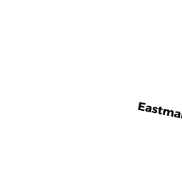
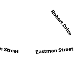
32 EASTMAN STREET
Owner Information
BERG ROBERT J TRUSTEE
C/O NORTH EASTON SAVINGS BANK
SOUTH EASTON, MA 02375


Property Details
32 EASTMAN STREET is classified as a Potentially Developable Industrial Land (Vacant land).
32 EASTMAN STREET is valued at $241,600. The land is valued at $241,600 and the structures are valued at $0.
This property is in Zone IND. Confirm with local Zoning Board authorities to ensure there are no overlays or other easements on this property.
The most recent deed for 32 EASTMAN STREET is recorded at the local registrar in Book 23877, Page 0306. 32 EASTMAN STREET was last sold on Wednesday, July 19, 2017 for $1.
Assessment data from fiscal year 2022.
Flood Data
According to the FEMA National Flood Hazard Layer, this property does not appear to be in a flood zone. It may also be in an area not yet reviewed. Nonetheless, confirm this information prior to taking any action.
To view the flood hazards around this property, create a FEMA "Firmette" Map of the area around 32 EASTMAN STREET.
Broadband Internet Providers
| Provider | Type | Bandwidth (mbps) | |
|---|---|---|---|
| VSAT Systems, LLC. | Satellite | 2 | 1 |
| Verizon New England Inc. | Fiber | 940 | 880 |
| Viasat Inc | Satellite | 100 | 3 |
| GCI Communication Corp. | Satellite | 0 | 0 |
| HughesNet | Satellite | 25 | 3 |
| Verizon New England Inc. | DSL | 5 | 0 |
| Comcast | Cable | 1000 | 35 |
Broadband service provider data from December 2020.
Adjacent Properties
- 631 FOUNDRY STREET
Developable Commercial Land owned by DEUBLER THOMAS A & BERG ROBERT J TRUSTEE - 20 EASTMAN STREET
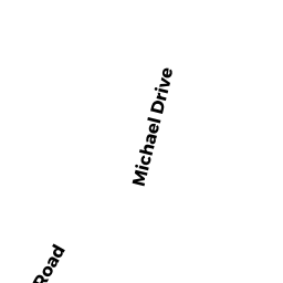
Bank Buildings owned by NORTH EASTON SAVINGS BANK - 15 MICHAEL DRIVE
Single Family Residential owned by MCANDREW RYAN & JODI - 28 EASTMAN STREET
Undevelopable Industrial Land owned by BERG ROBERT J. TRUSTEE - 42 EASTMAN STREET
Warehouses for storage of manufactured products owned by JOHNSON KARL H - 14 MICHAEL DRIVE
Single Family Residential owned by FIEDORCZYK ZDZISTAW & ZOFIA